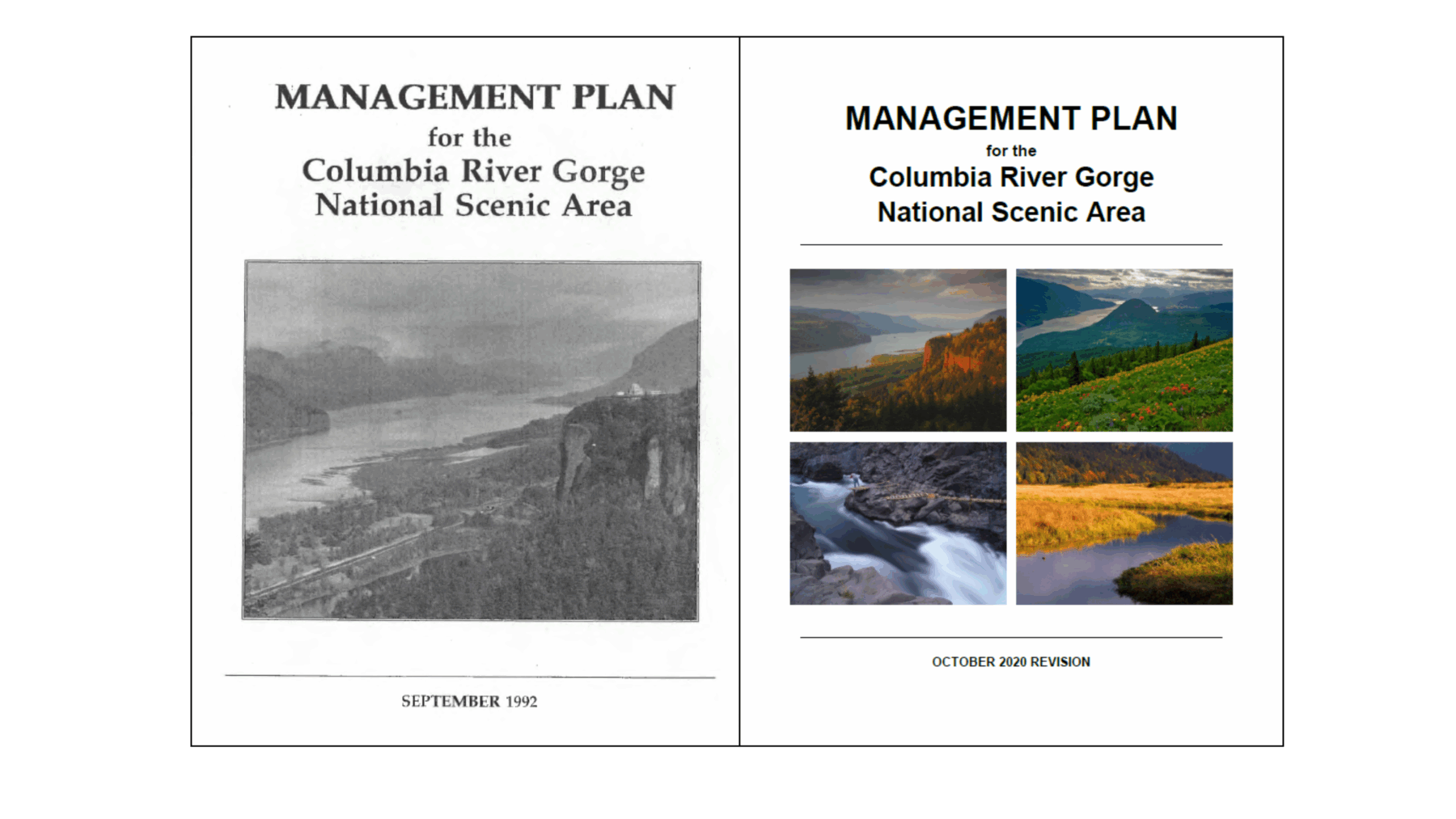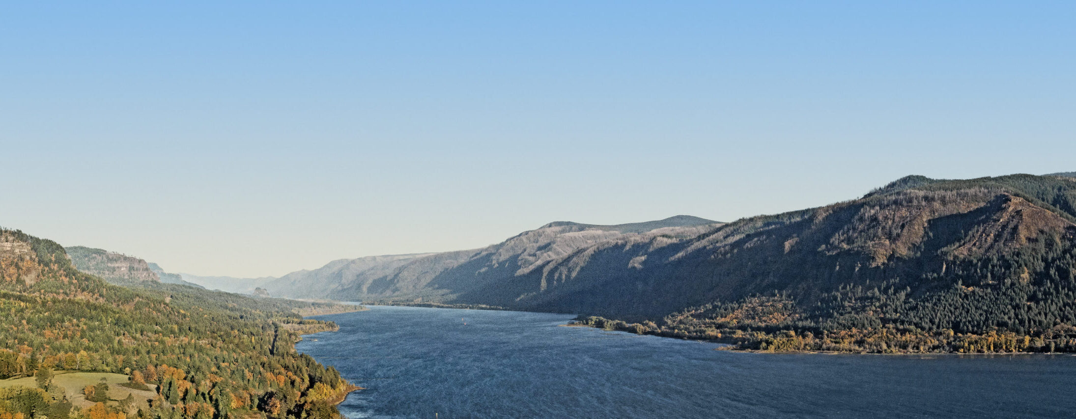
Columbia River Gorge National Scenic Area Management Plan
The National Scenic Area Act (the Act) requires the Columbia River Gorge Commission (Gorge Commission) and the USDA Forest Service to work together to create a Management Plan. This plan makes sure the land in the National Scenic Area is used in a way that matches the goals of the Act.
The Gorge Commission writes the rules and guidelines for the general management area, while the USDA Forest Service writes the rules and guidelines for the special management areas. The plan does not directly apply to the 13 urban areas.
The Gorge Commission adopts the Management Plan and must include the USDA Forest Service sections without making changes. The Gorge Commission and USDA Forest Service must update the Management Plan at least every 10 years.
The first Management Plan was adopted in 1991, with help from tribal nations, local and state governments, federal agencies, citizens, and non-governmental groups. The first update was completed in 2004, and the second in 2020. Additional changes can be made between regular updates if major changes occur in the National Scenic Area. All updates must be approved by the U.S. Secretary of Agriculture.
The Management Plan includes land use rules and resource protection measures. It also includes programs and projects to help protect and improve the area, even when those efforts are not regulatory. The plan describes how agencies and governments work together to carry out the Act.